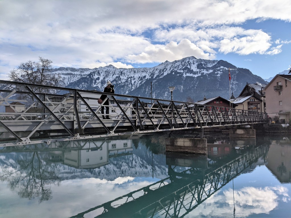
I am currently obsessed with the word wanderweg, which is German for hiking trail. Wanderweg seems to capture the magic of hiking so much better than our very functional “hiking trail.” I just love the cognate wander, and wander was exactly what we did on our trip to Interlaken, in the Bernese Oberland.
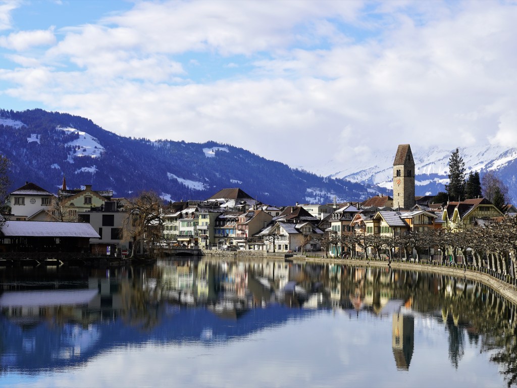
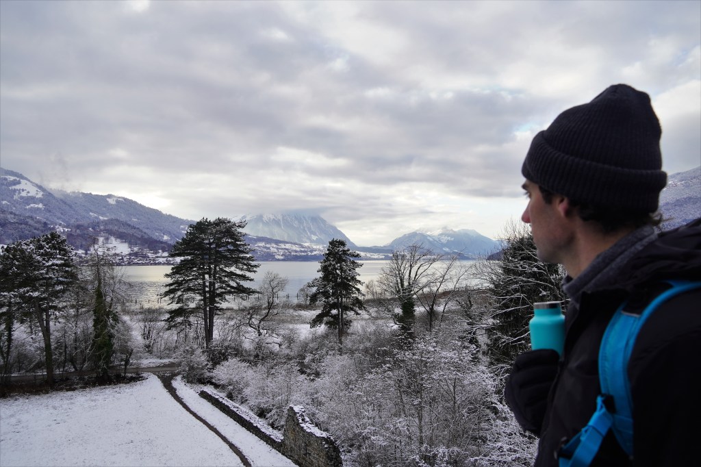
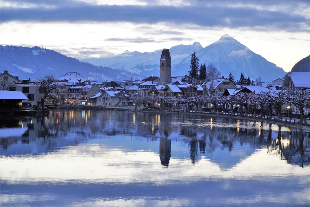
As one may infer from its name, Interlaken is a town situated between two lakes, Lake Thun and Lake Brienz, and surrounded on all sides by Alpine mountains. What a perfect jumping-off point for a week of wintry wandering.
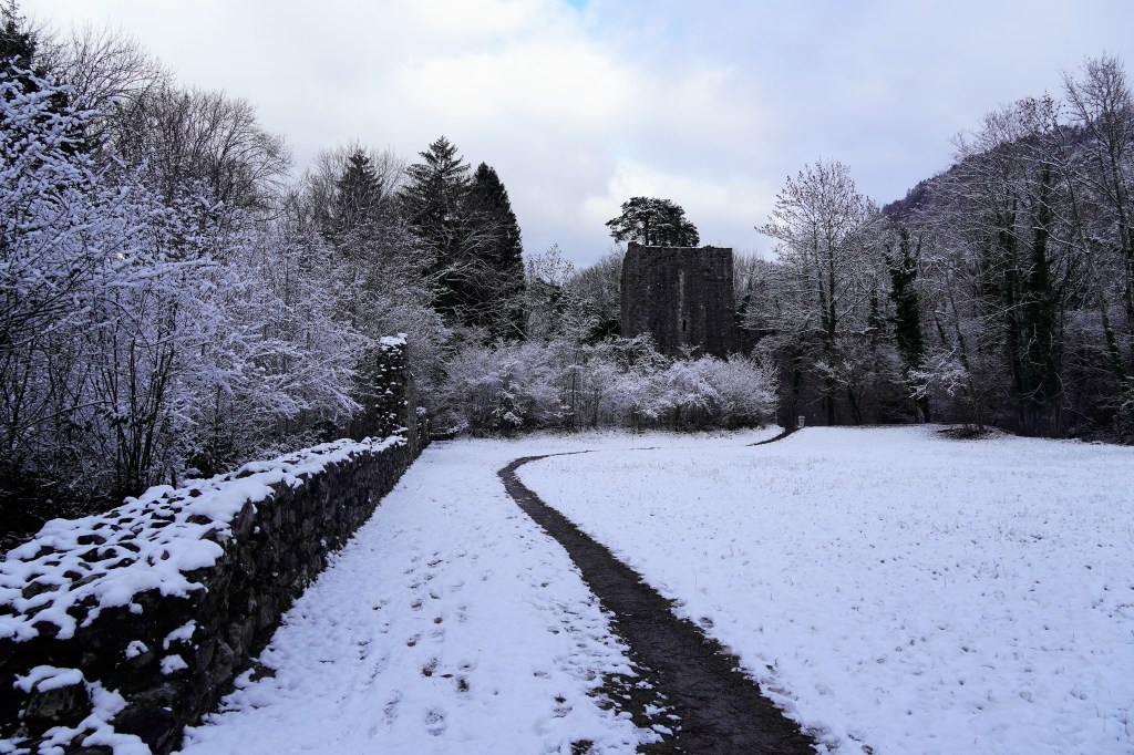
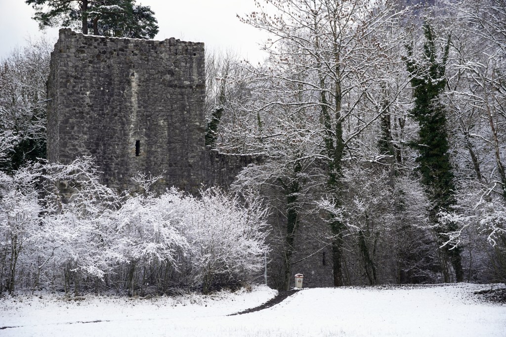
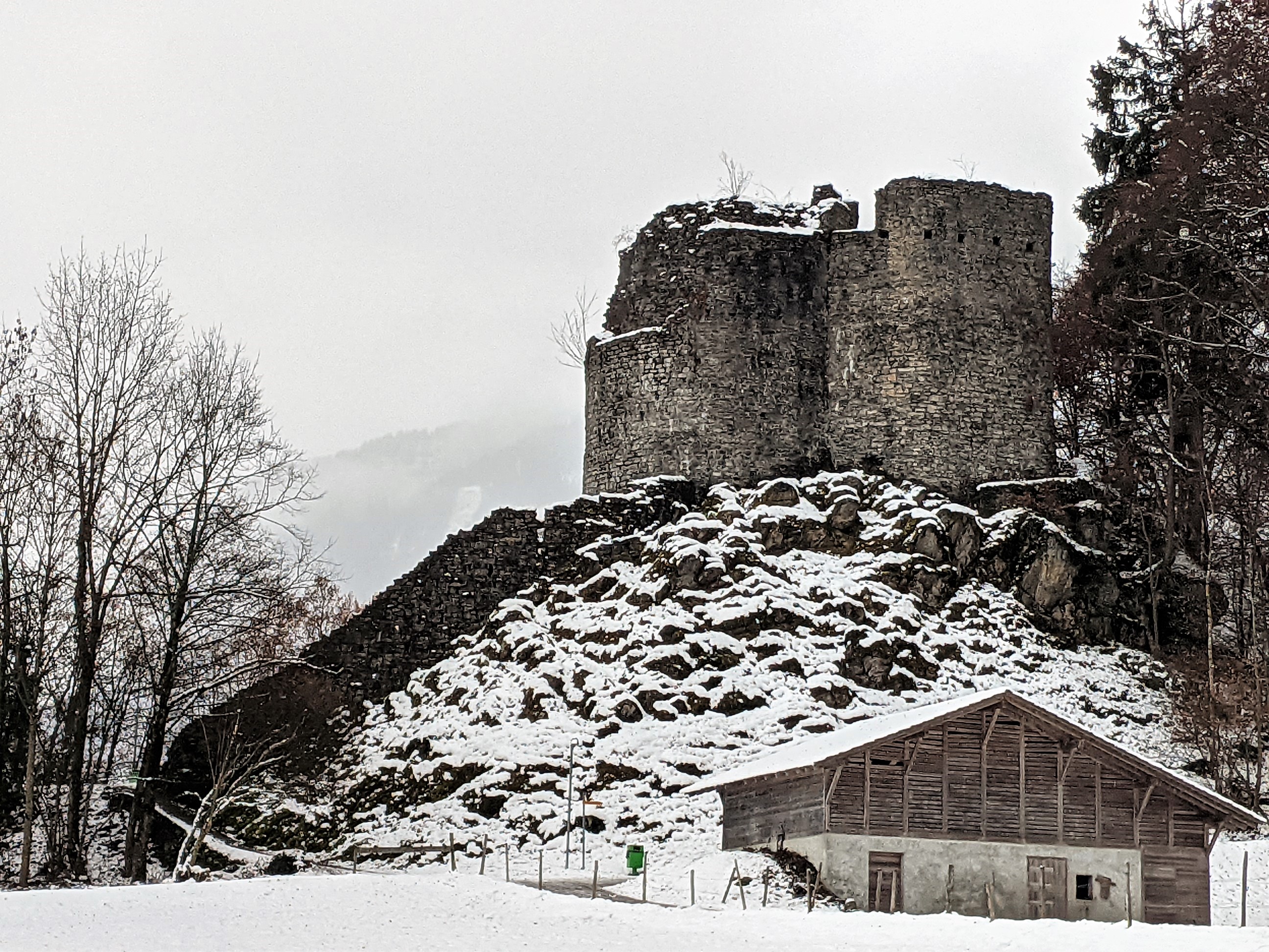
We had our sights set on multiple sets of medieval ruins in the area, and very quickly mapped out how to get to every. single. one. A nice snowy walk from Interlaken took us to the ruins of Weissenau Castle on the Weissenau Nature Reserve, which dates back to before 1298 AD. It is located on Lake Thun, right at the point in which the Aare River flows into the lake. And did I mention that we had the whole place to ourselves? And were allowed to scramble all over the place? Our history-loving sides were perfectly satisfied.
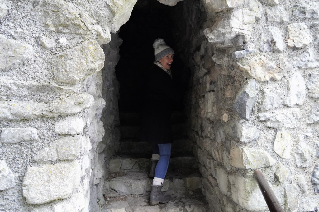
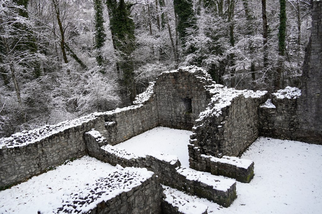
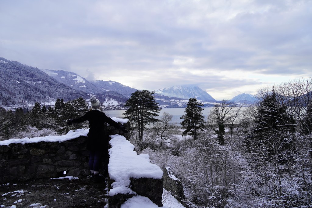
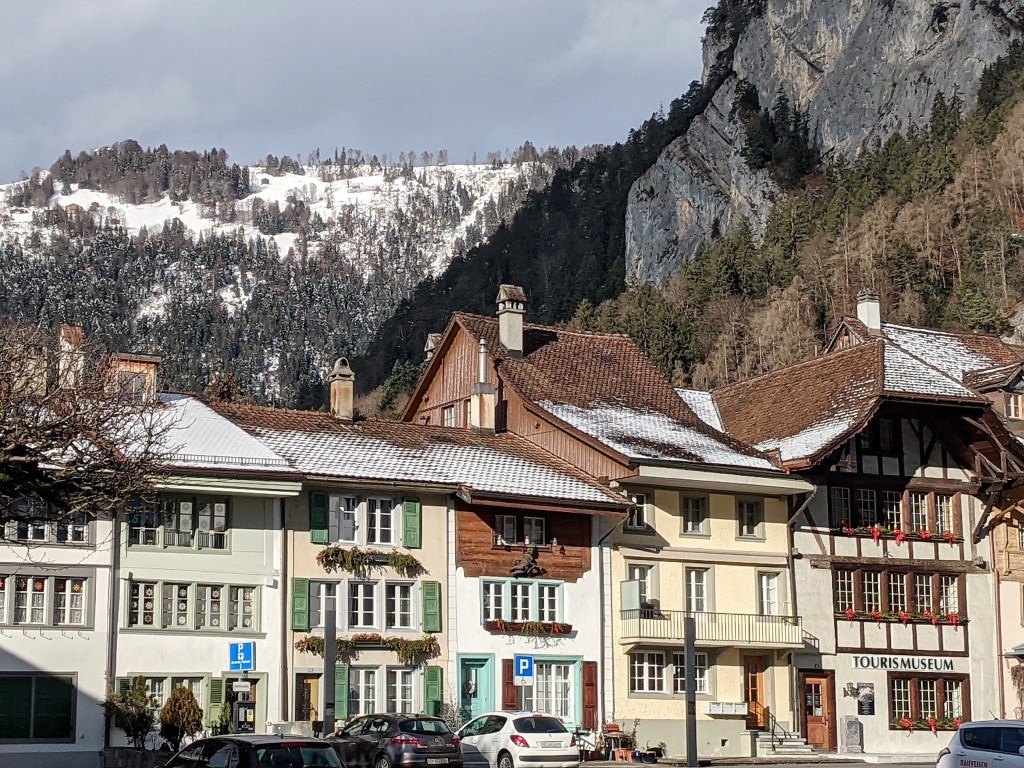
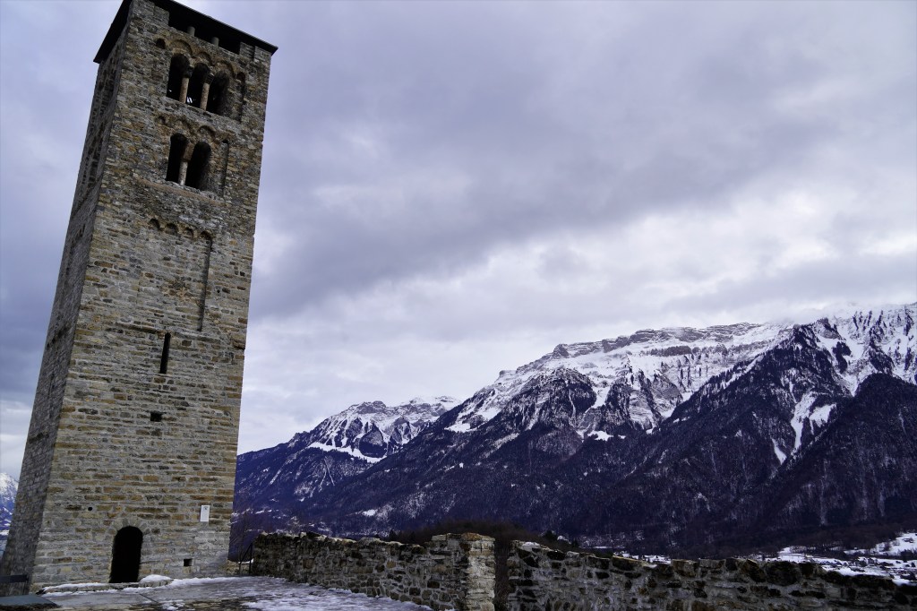
Next, we found the thirteenth-century castle ruins of Unspunnen and Rothenfluh, which are connected via the aptly named Castle Path traversing through quaint neighborhoods and gorgeously icy forest. Once again, we were transported back in time and enjoyed having an incredible piece of history all to ourselves. Minus the icy and steep stone stairs and icicles hanging precariously from tiny plants growing in the stone doorways, it was perfection.


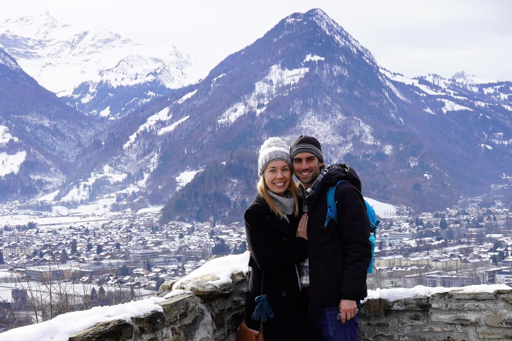
As our final ruin of the trip, we hiked our way up to the ruins of the church of St. Peter in Goldswil. Despite having exhausted legs as it was our final day and we had just completed a twenty-kilometer hike the day before, the views across the entire valley, mountains, and lakes from the top were worth the pain!
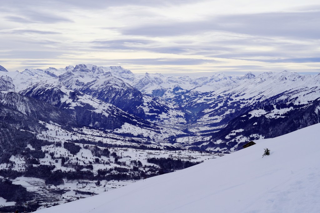
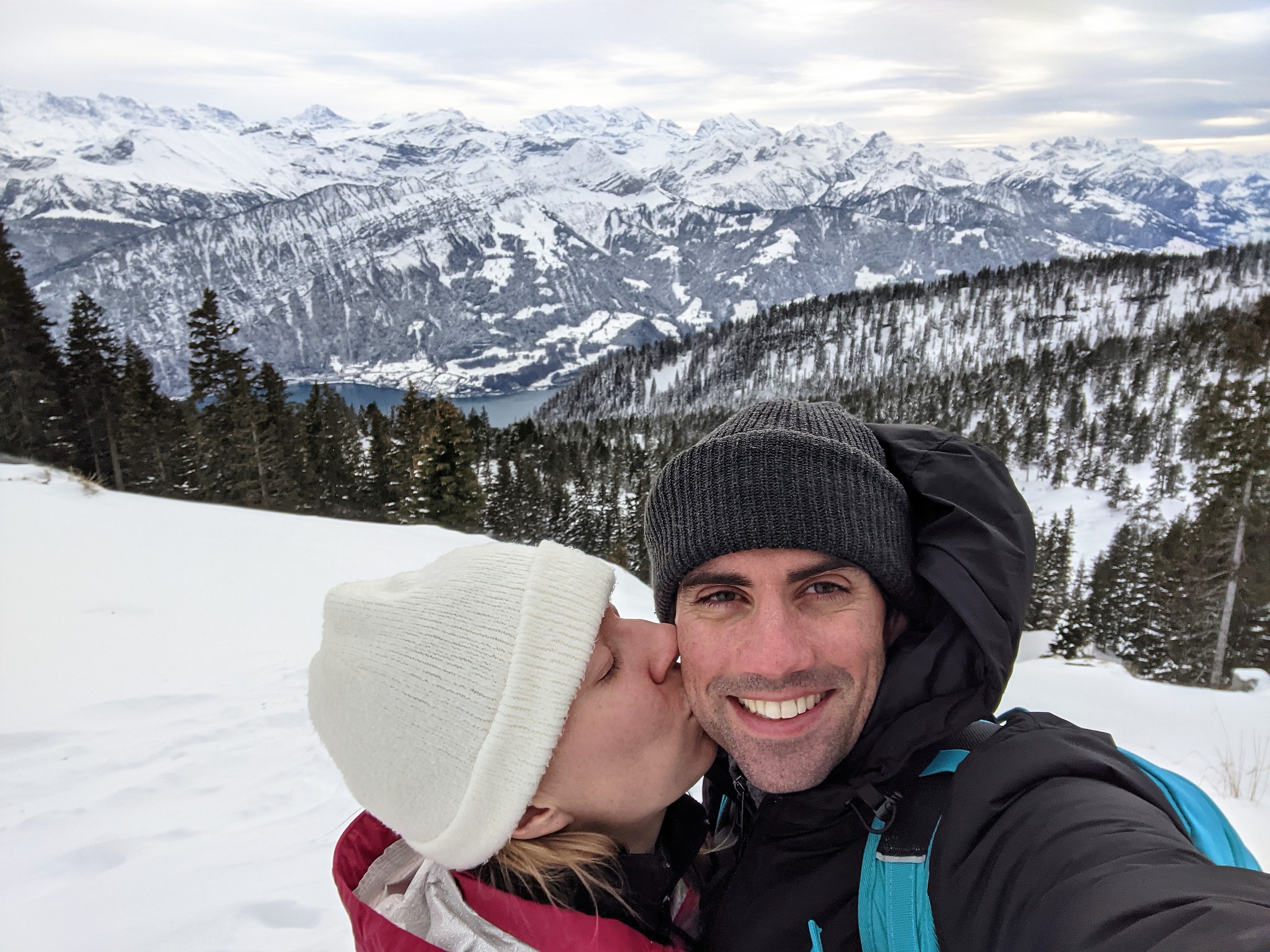
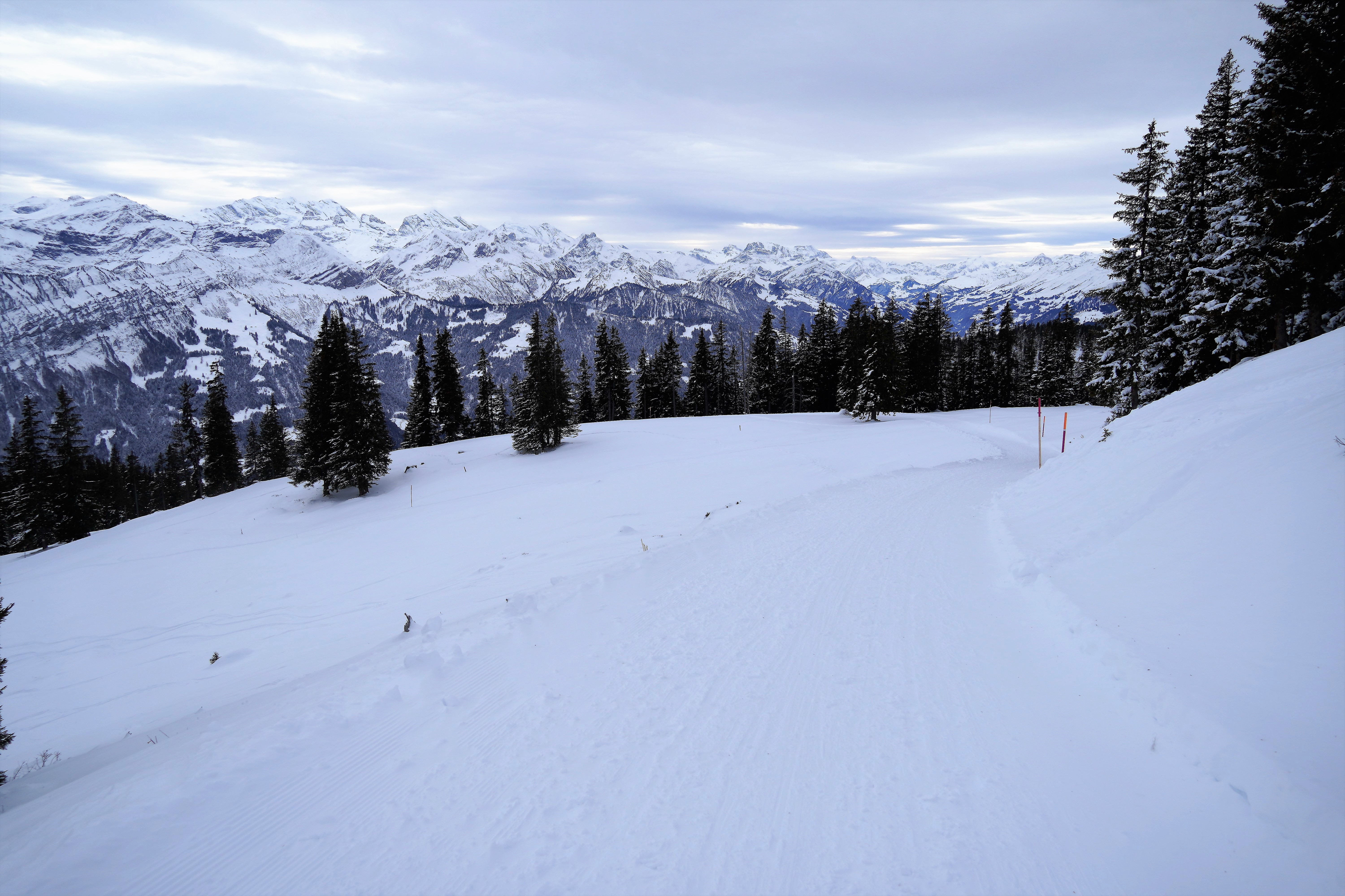
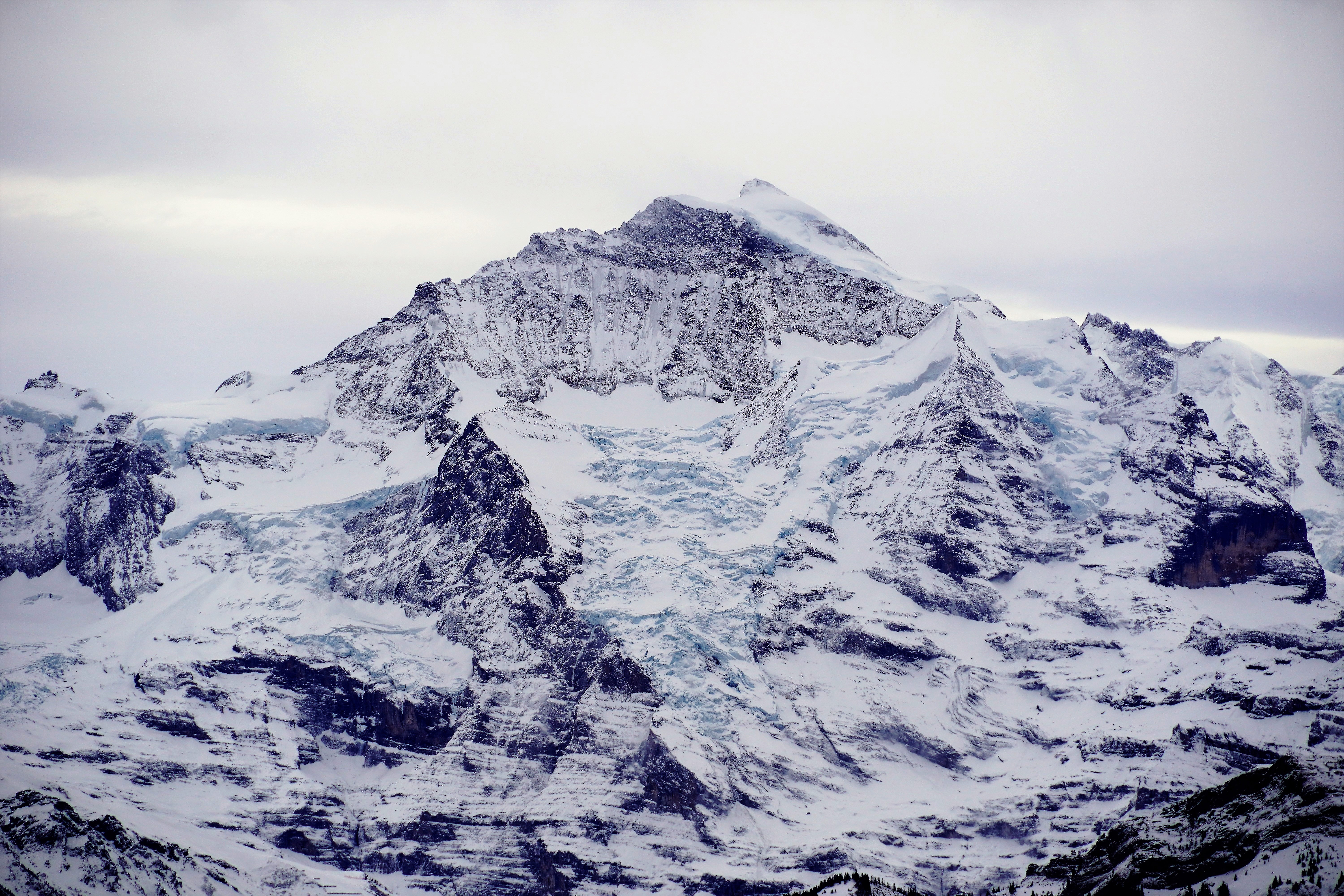
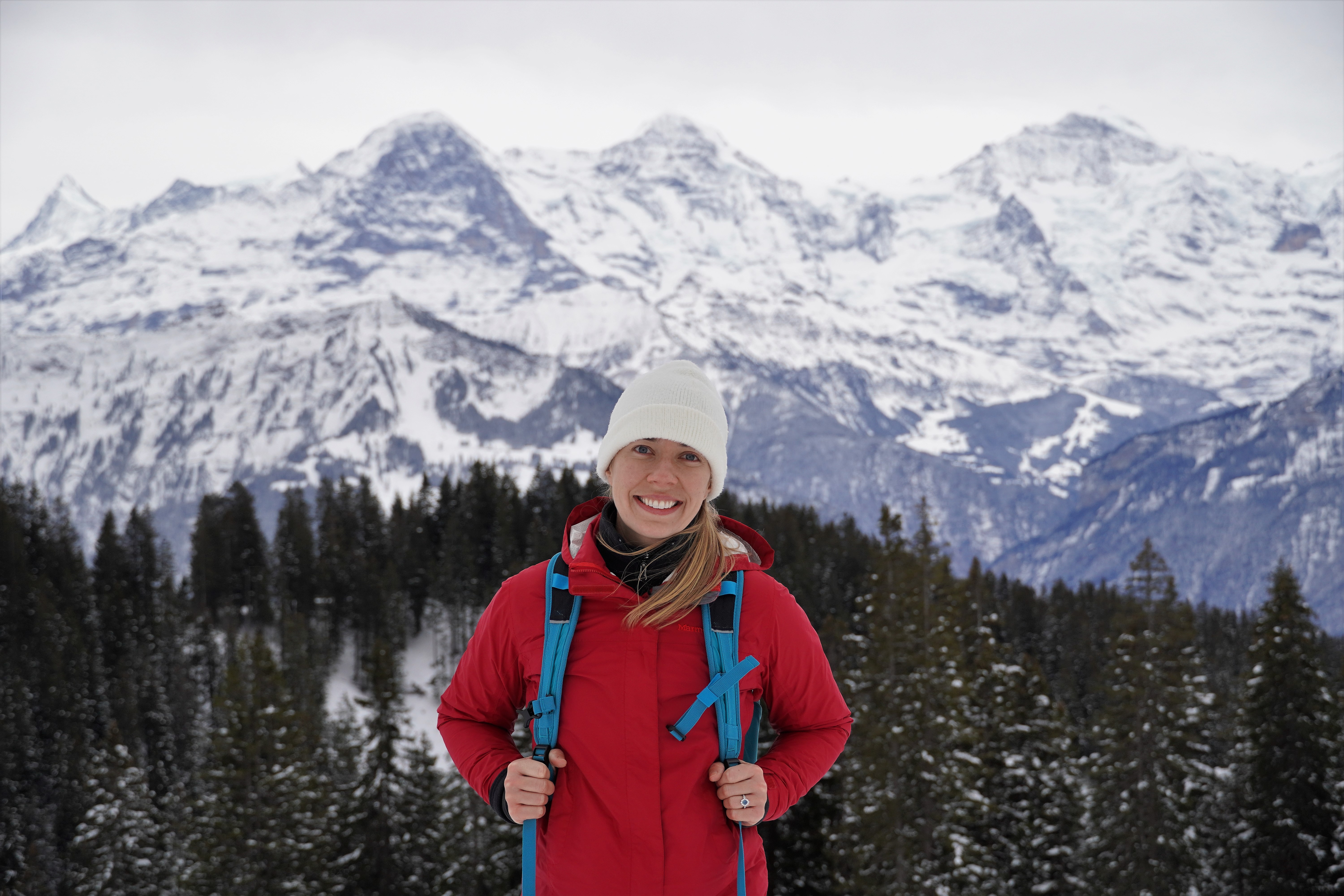
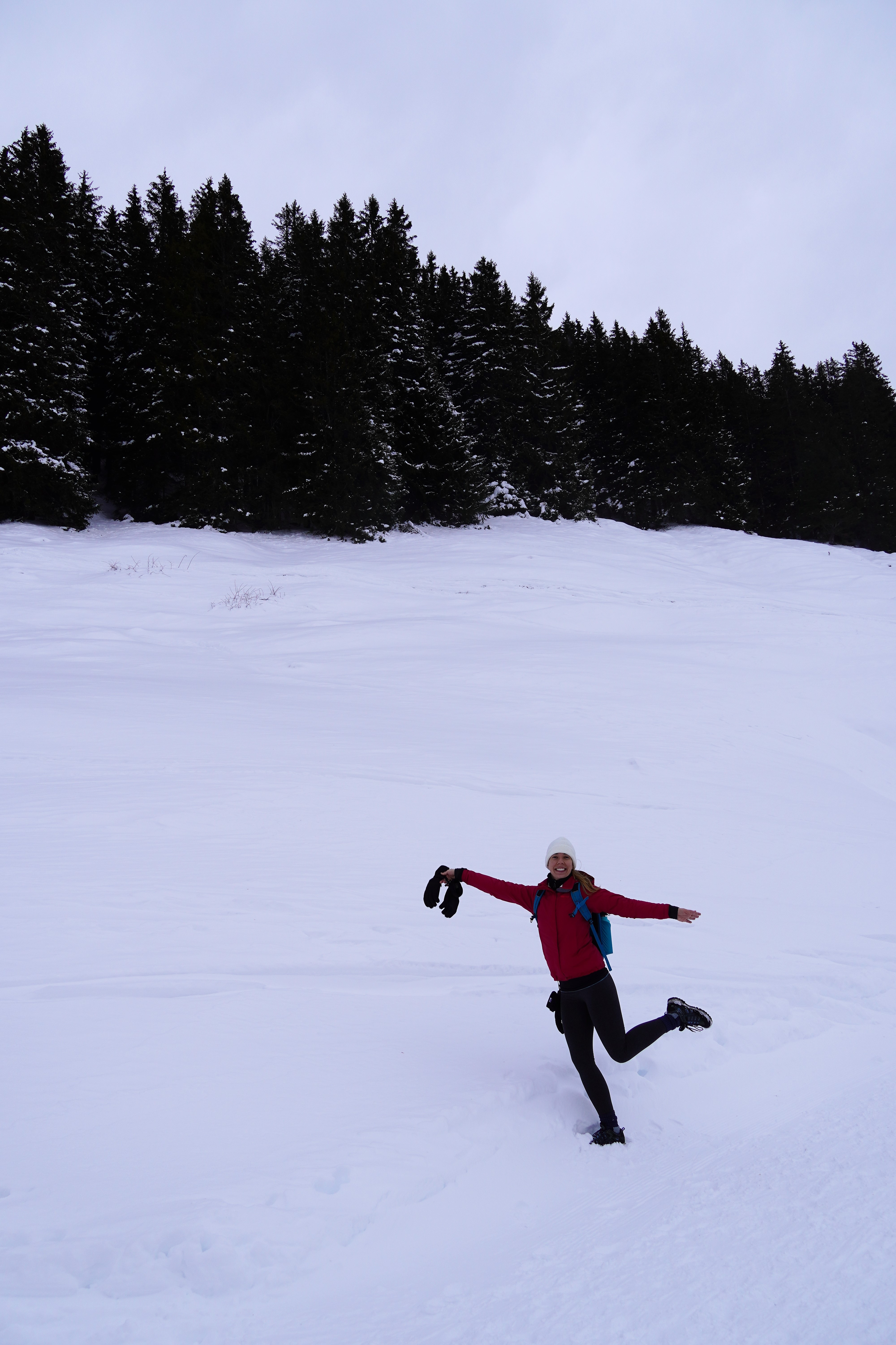
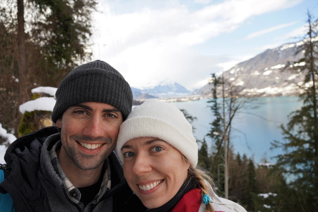
Now, time to get up to altitude! Day 2 dawned bright, early, and freezing, and we went on one of the most spectacular hikes I have ever been on. We hopped on a bus to the town of Beatenberg and then took the aerial cable car up to the peak of the Neiderhorn. At 1950 meters (around 6400 feet), it sits across the valley from the Eiger, Mönch, and Jungfrau peaks and sports unparalleled views of the lakes and towns below and the mountains in all directions. We took off on our wanderweg, which took us across the exposed ridgeline and then descended down the mountain and below the tree line before finally ending in the town of Waldegg. It was ten kilometers of gorgeous winter wonderland perfection. I was super impressed by the commitment to all things winter sports, with designated trails catering to hikers, snow shoers, skiers, and sledders. Special note on all of the pictures: you can tell I’m really cold when my hat is pulled down so low you can’t see my eyebrows.


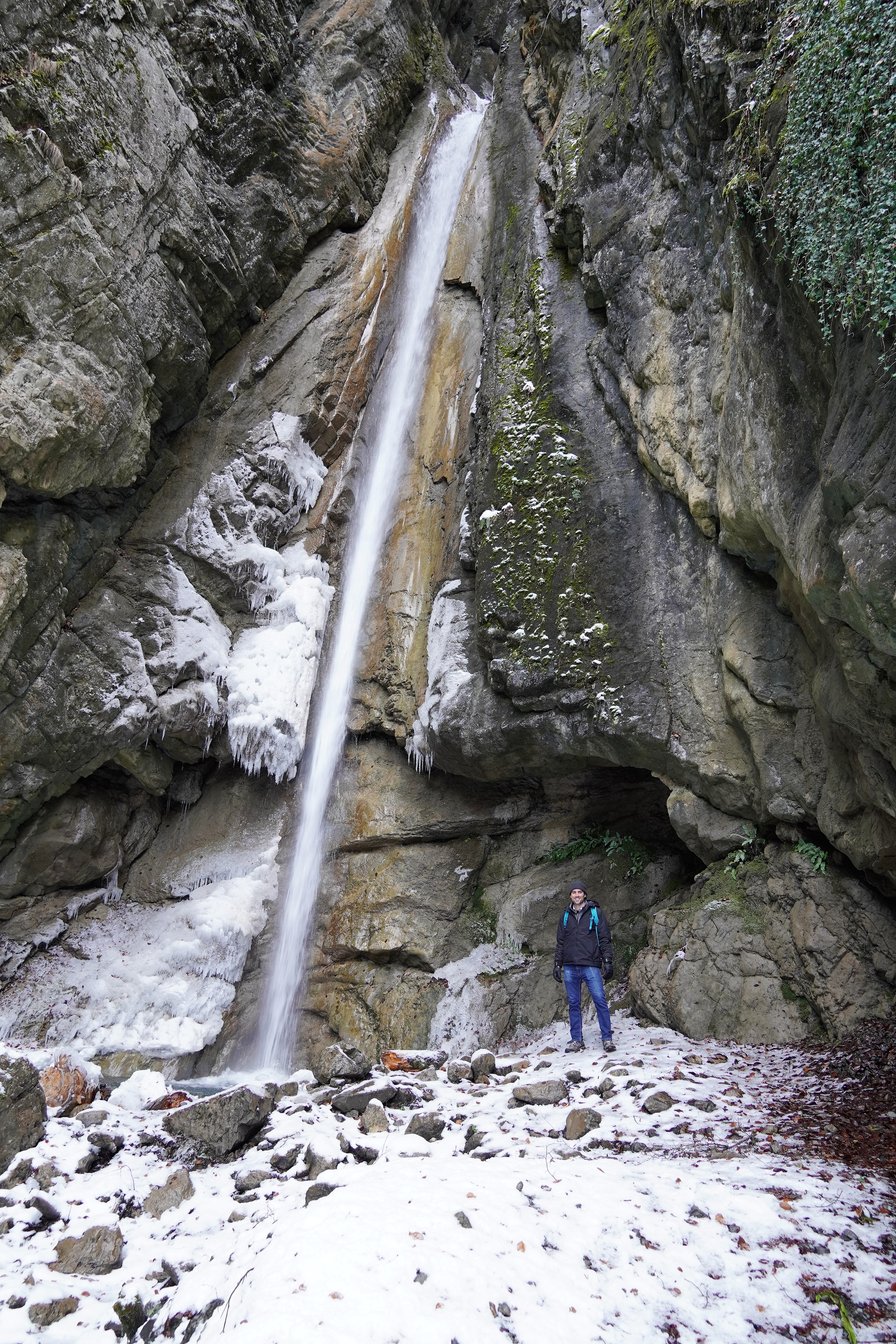
What else could be next but an epic, dawn-to-dark hunt for waterfalls involving a circumnavigation of the entirety of Lake Brienz? Beginning in Interlaken and concluding when we dragged our tired legs into the train station at Brienz about twenty kilometers later, we reveled in the views of the crazily turquoise water of Lake Brienz, snowy pastures and farms, and half-frozen waterfalls along the route. Once again, we had the trails and the falls virtually to ourselves.
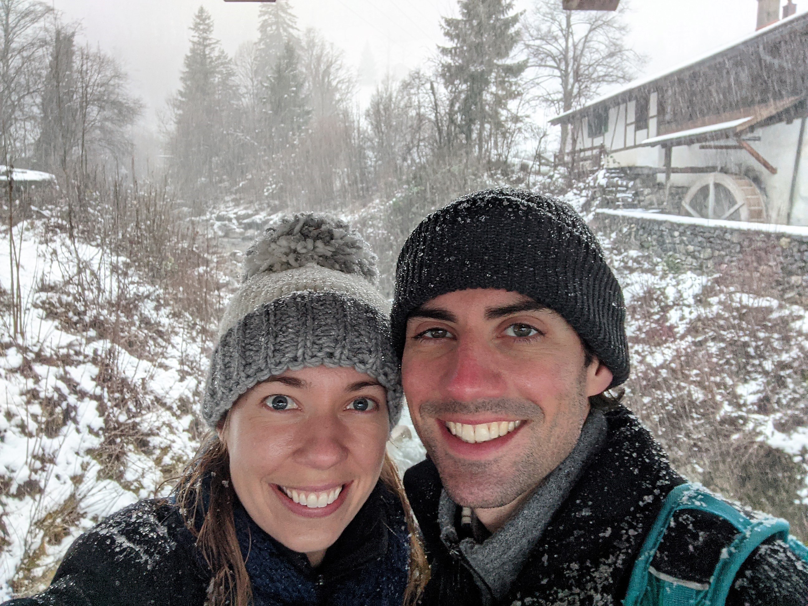
I am still regularly stunned by how beautiful this region is. Within four days and fifty kilometers of wanderweg, we explored quaint Swiss towns, enjoyed the craggy peaks of Alpine summits, wandered through forests, clambered over medieval ruins, played in snow, chased waterfalls, strolled along lakes, and breathed in icy mountain air. I could also add to the list that we froze our tushes off, got caught out in the snow (a lot), and started slurring our words by the end of each day due how cold our faces were, but those are just minor details. We were having too much fun to care about those things!


Leave a comment